Precision Crop Health Monitoring
Hyperspectral and multispectral UAV imaging detects plant stress, nutrient deficiency, disease, and pest infestation days to weeks before visible symptoms appear.
Silicon Valley · Deep-Tech R&D · Agriculture
Marut-X Labs builds UAV-enabled, AI-driven sensing and robotics systems that turn raw spectral light into field-level intelligence — giving growers the ability to act on plant stress, water deficit, and disease weeks before it's visible to the naked eye.
By the time crop stress is visible to a person walking the rows, yield loss is often already locked in — and the inputs used to fight it are usually applied uniformly, wasting water, fertilizer, and money on the parts of the field that never needed them.
Our technology stack spans software, hyperspectral and multispectral imagery, AI/ML, robotics, ground rovers, UAVs, environmental sensors, GNSS, and LIDAR — applied across the agricultural research domains below.
Hyperspectral and multispectral UAV imaging detects plant stress, nutrient deficiency, disease, and pest infestation days to weeks before visible symptoms appear.
Thermal and NDVI-derived evapotranspiration mapping optimizes irrigation scheduling and reduces water use, fused with soil-moisture sensor networks.
Drone- and rover-based soil mapping feeds AI-driven prescription maps for variable-rate fertilizer, lime, and amendment application.
Multi-temporal imagery and LIDAR canopy structure feed ML yield-prediction models and high-throughput phenotyping for breeding programs.
Computer-vision identification of weeds and pests, paired with autonomous precision-spraying drones, cuts chemical use versus broadcast application.
Thermal and RGB UAV surveys support herd counting, animal health and heat-stress detection, and forage-quality assessment across grazing land.
Canopy volume and vigor mapping via LIDAR and photogrammetry support pruning optimization, yield estimation, and harvest planning.
Ground-based autonomous rovers handle in-field scouting, sensor deployment, mechanical weeding, and selective harvesting alongside aerial data.
RTK-GNSS and UAV photogrammetry support boundary mapping, drainage and topography analysis, and centimeter-level guidance for machinery.
Sensing and imaging extended into storage and supply chains reduces post-harvest loss through early detection of spoilage and pest conditions.
Remote sensing and ML-based estimation of soil carbon and cover-crop performance support verifiable sustainability and carbon-market participation.
Rapid UAV-based damage assessment after floods, fires, frost, or storms helps growers anticipate and mitigate climate-related crop risk.
Cloud and edge software fuses UAV, sensor, satellite, and ground-truth data into actionable dashboards and APIs for growers and agronomists.
Coordinated multi-drone research enables faster, lower-cost coverage and treatment across large-acreage farmland.
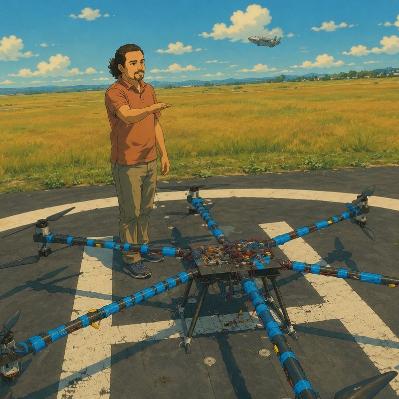
Based in California. Co-leads platform & product, company strategy and operations, with a focus on partnerships, capital strategy, and bringing Marut-X Labs' research to commercial field deployment.
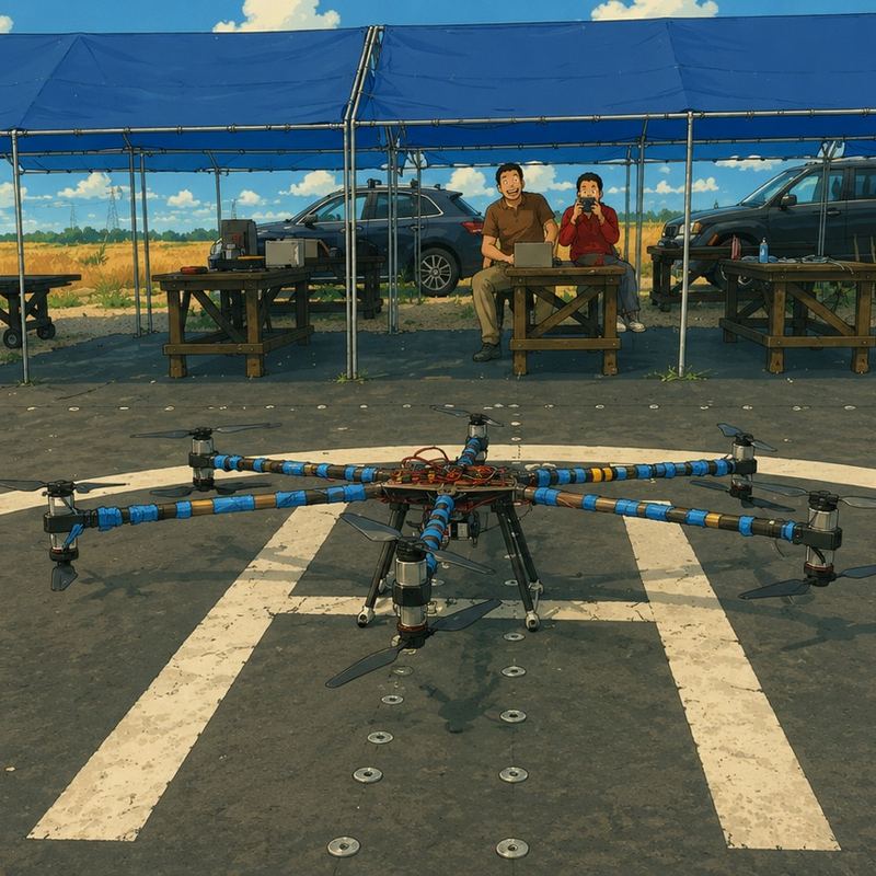
Based in California. Co-leads technology and research direction, with a focus on the UAV, sensing, and AI/ML systems at the core of Marut-X Labs' platform.
We're a seed-stage deep-tech R&D company based in Silicon Valley, working with California grower partners on first-season field validation. We're glad to hear from prospective partners, grower collaborators, research institutions, and investors.